ALL INTELLIGENCE
Simon Willison 博客T2·Tools

Datasette Cluster Map Plugin 0.19 Adds Datasette 1.0a42 Support

Original title: datasette-cluster-map 0.19
38AI Score

The long-running Datasette plugin datasette-cluster-map shipped version 0.19, adding compatibility with Datasette 1.0a42 and depending on the new datasette-leaflet to send a referrer header for OpenStreetMap tile requests. The author also demos a faceted map of PG&E power plants, highlighting Datasette's recently redesigned facets.

Full Report

One of the oldest Datasette plugins, and still one of my favorites. It now works with Datasette 1.0a42, and depends on the new datasette-leaflet to ensure OpenStreetMap tiles are requested with a referrer header.

Here's a map of power plants owned by California's PG&E., also demonstrating Datasette's recently redesigned facets:
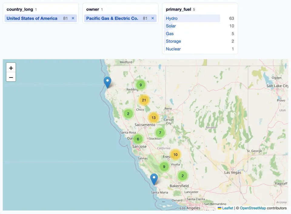
Screenshot of a faceted map interface. Three facet panels at the top: 'country_long 1' with United States of America 81 selected; 'owner 1' with Pacific Gas & Electric Co. 81 selected; 'primary_fuel 5' listing Hydro 63, Solar 10, Gas 5, Storage 2, Nuclear 1. Each primary_fuel row has a pale blue horizontal bar behind its label, sized in proportion to its count: Hydro's bar fills most of the row width, Solar's is a short sliver, Gas's is shorter still, and Storage and Nuclear have only a thin strip at the left edge. Below is a Leaflet map with + and − zoom controls showing California and Nevada, with marker clusters across northern and central California: 9 near Redding, 21 near Chico, 2 to the west of Chico, 13 northeast of Sacramento, 7 east of Stockton, 6 at Oakland, 10 at Fresno, 9 west of Visalia, 2 north of Bakersfield, plus two individual blue pin markers on the coast, one in the far north and one north of Santa Maria. Attribution: Leaflet | © OpenStreetMap contributors